


· Micha
Europe's drought and hiking water: why spring reliability matters more than ever
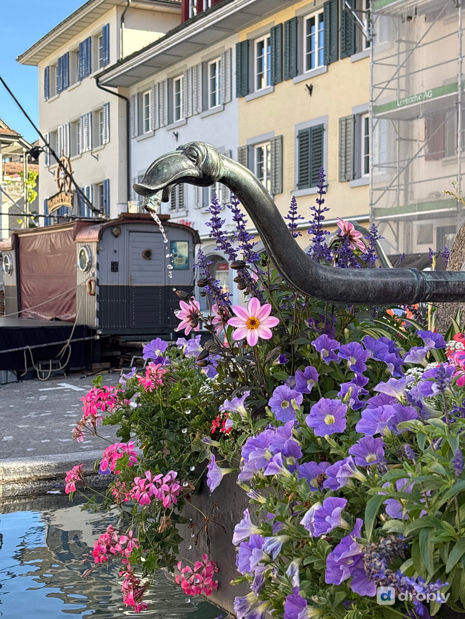
A spring on the map isn't the same as a spring that's flowing today. As drought spreads across Europe in 2026, here's why hikers need current, community-checked information about water sources, not just their location.
You planned your route around a spring marked on the map. You arrive, bottle half empty, and there’s no water.
The question that matters isn’t just where the water sources are. It’s which ones are actually flowing right now, and this summer, across much of Europe, that question has a less certain answer than usual.
How severe is Europe’s 2026 drought?
Severe, and widespread. The European Drought Observatory reported alert-level conditions by late July across the southeastern UK, France, southern Germany and the Danube river basin, with warning conditions expanding into the Balkans and Ireland. The European Environment Agency measured roughly 35% of the area of its 38 member and cooperating countries in drought for the last ten days of July 2026, with 37 countries affected.
Copernicus reported that spring 2026 was drier than average across most of the continent, and unusually so: Austria recorded its driest spring since national records began in 1857, and Czechia its driest since 1961. Soil moisture and river flow have stayed below normal through the summer in large parts of western and central Europe.
Does drought reach the water sources hikers actually use?
It does, and not just the big rivers. In July, Reuters reported that Lac des Brenets, on the Swiss-French border, had nearly drained, its water level down by several metres as the Doubs, its main inflow, dwindled. In August, an INRAE ecohydrologist told Le Monde that more than 40% of small waterways monitored in France had seen disruption or complete drying by late July, including some that had never dried up before in living memory.
Springs and small waterways are exactly the category of water source hikers plan around: not the Rhine or the Danube, but the tap in a village square, the pipe out of a rock face, the spring that’s supposed to be there halfway up the climb.
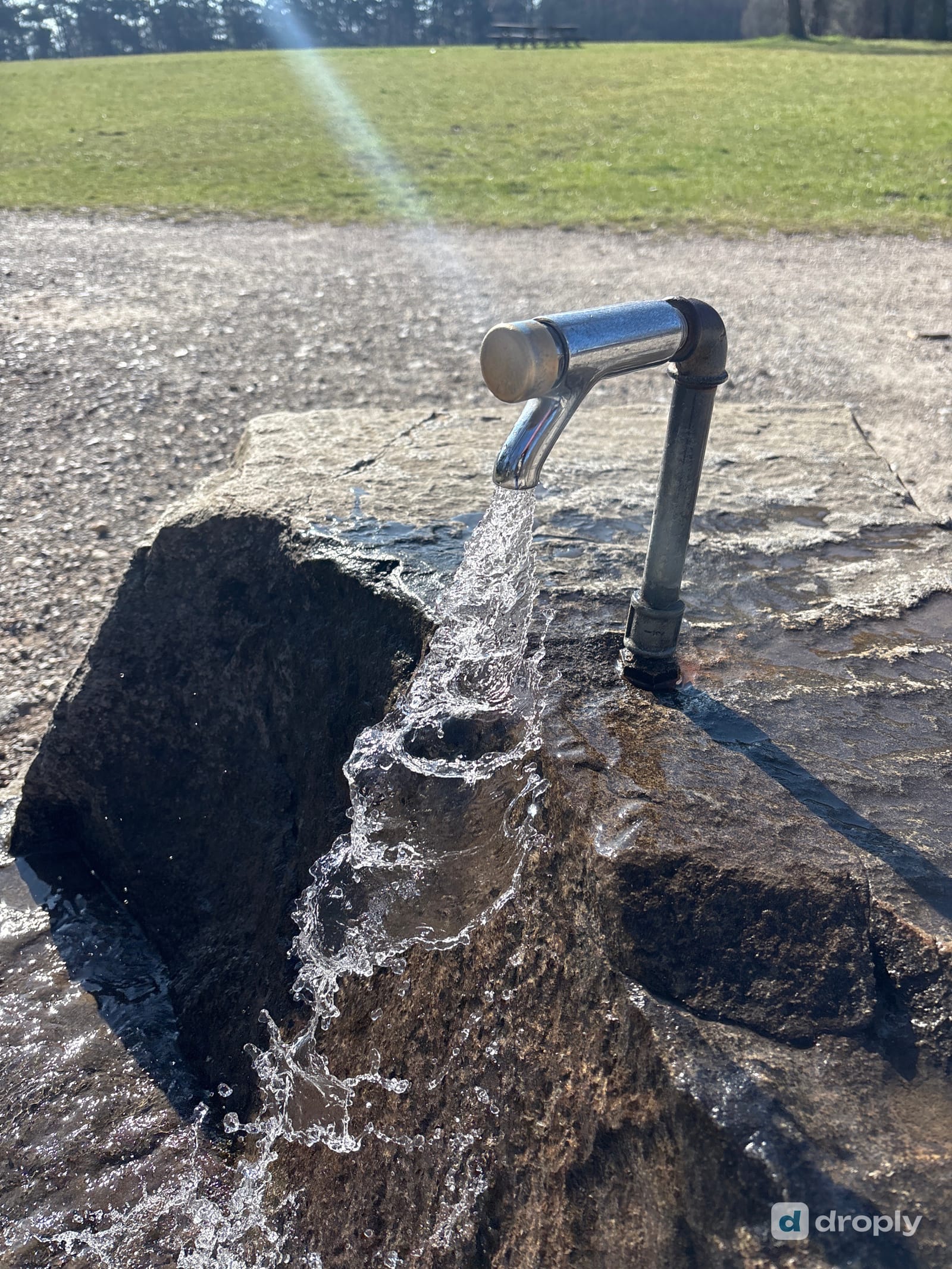
Why does existence not equal reliability?
A water source can exist, be marked accurately on a map, and have flowed reliably for years, and still be dry the day you arrive. Spring flow depends on rainfall, groundwater levels, season and temperature, and drought makes all of that harder to predict from a map alone.
That’s the distinction worth carrying into any hot, dry summer: a source exists if it’s a real, physical water point. It’s marked if a map shows it. It’s reliable only if it keeps flowing when conditions get hard, and only current information, not history, can tell you that on a given day.
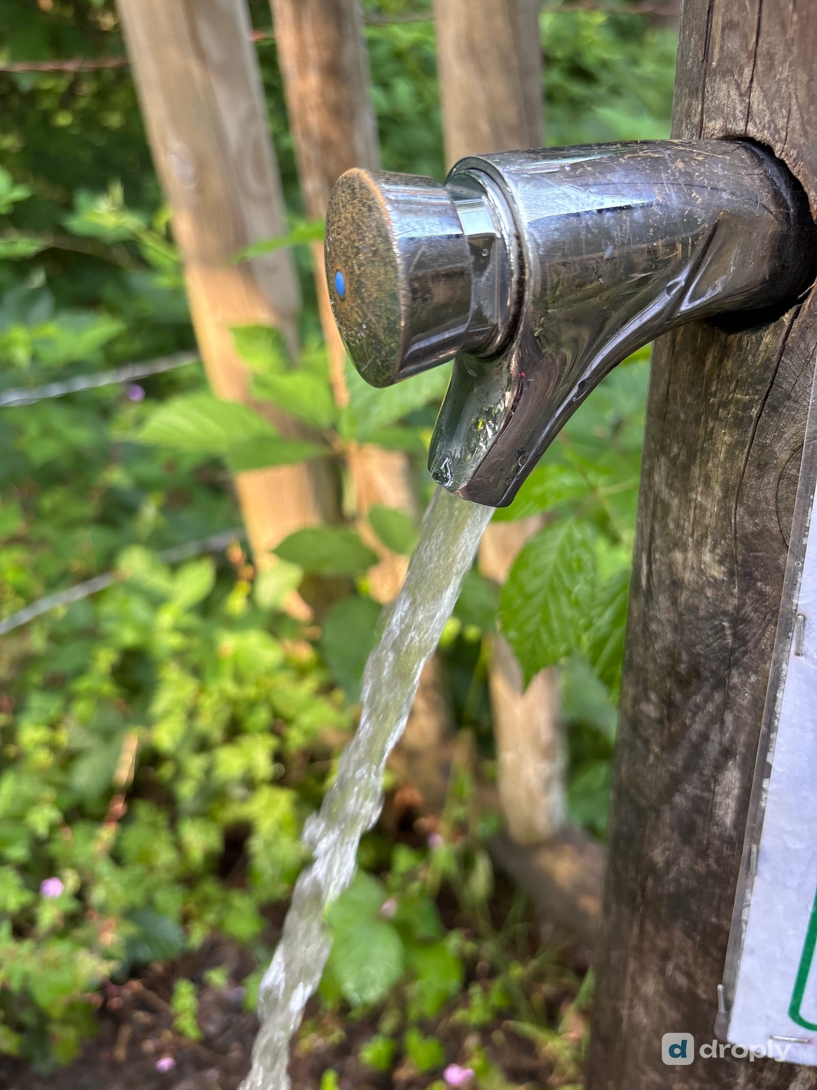
What can’t a static map tell you?
A map can hold a location, a name, a type, and whatever was true when it was last surveyed. It can’t tell you whether anyone has passed recently, whether the source is flowing today, whether the flow is strong enough to fill a bottle, or whether it dries out every hot summer regardless of any wider drought.
That gap is exactly where a hiker who was there yesterday becomes more useful than the most detailed historical description.
How can hikers become a distributed water-monitoring network?
Every hiker who passes a water source is a potential observer. One person checking in to say a spring is flowing, or isn’t, adds a data point the next hiker can use. On its own that’s a small thing. Across a season and a trail full of people doing the same, it becomes a far more current picture than any single survey could produce.
The value here comes from many small observations, not from one person trying to maintain the whole map alone, and that’s the same logic that already built droply’s map of water sources in the first place.
What does droply actually add here?
On droply, hikers can check in at a fountain or spring to say whether it’s flowing, add a photo, leave a comment, or mark a source as reliable or not reliable. None of that is a guarantee that water will be there the moment you arrive. Flow can change with rainfall, drought, season, and local use between one check-in and the next.
What it gives you instead is a more current picture than location alone: recent community observations, not a promise. A source with no reports in months is a weaker bet than one people are actively confirming, and that difference matters more this year than most.
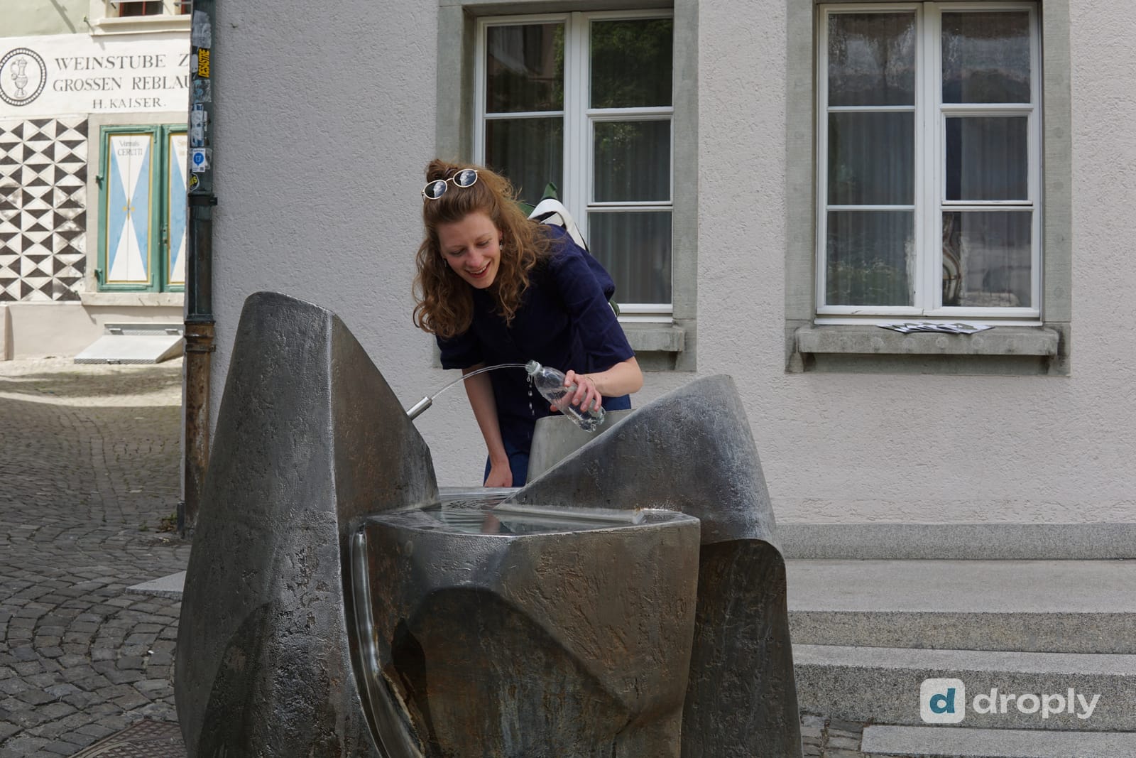
It’s also worth keeping flow and safety separate. Whether a source is running tells you nothing on its own about whether it’s safe to drink. Check a source’s water details on droply, and treat flowing and drinkable as two different questions, not one.
What can you do on your next hike?
Find a source, check in, and say what you saw. If it’s flowing, confirm it. If it’s dry, report that too, especially this year, when a source that’s always been dependable is more likely than usual to surprise someone. If you know it’s seasonal, add that context so the next person isn’t caught out by information that used to be true.
You’re not only finding water for yourself when you do this. You’re leaving something more current for whoever walks the same route next week, when conditions may already be different again.
Frequently asked questions
Is Europe experiencing a drought in 2026?
Yes. The European Drought Observatory reported alert-level conditions across parts of France, southern Germany and the Danube basin by late July 2026, and the European Environment Agency measured drought conditions across roughly 35% of the area of its 38 member and cooperating countries for the same period, affecting 37 countries.
Does drought affect hiking water sources like springs and fountains?
It can. Drought lowers groundwater and reduces the flow that feeds springs and small waterways, the same water sources hikers rely on. A source that has flowed reliably for years can run low or dry during a prolonged dry spell, even if it’s still marked on a map.
Can I trust a water source just because it’s on a hiking map?
A map tells you a source exists and roughly what it is. It can’t tell you whether it’s flowing right now. That gap is exactly what recent, community-checked information closes: a check-in from someone who passed through recently is worth more than the map pin alone.
How does droply help with water source reliability?
On droply, hikers can check in at a water source to say whether it’s flowing, add photos, leave comments and mark sources as reliable or not reliable. None of this is a guarantee, but it gives the next hiker a more current picture than location alone.
Does a flowing water source mean it’s safe to drink?
No. Flow and safety are separate questions. Whether water is running tells you nothing on its own about whether it’s safe to drink; always check a source’s water quality information and use your own judgment or a filter where appropriate.
Frequently asked questions
Is Europe experiencing a drought in 2026?
Yes. The European Drought Observatory reported alert-level conditions across parts of France, southern Germany and the Danube basin by late July 2026, and the European Environment Agency measured drought conditions across roughly 35% of the area of its 38 member and cooperating countries for the same period, affecting 37 countries.
Does drought affect hiking water sources like springs and fountains?
It can. Drought lowers groundwater and reduces the flow that feeds springs and small waterways, the same water sources hikers rely on. A source that has flowed reliably for years can run low or dry during a prolonged dry spell, even if it's still marked on a map.
Can I trust a water source just because it's on a hiking map?
A map tells you a source exists and roughly what it is. It can't tell you whether it's flowing right now. That gap is exactly what recent, community-checked information closes: a check-in from someone who passed through recently is worth more than the map pin alone.
How does droply help with water source reliability?
On droply, hikers can check in at a water source to say whether it's flowing, add photos, leave comments and mark sources as reliable or not reliable. None of this is a guarantee, but it gives the next hiker a more current picture than location alone.
Does a flowing water source mean it's safe to drink?
No. Flow and safety are separate questions. Whether water is running tells you nothing on its own about whether it's safe to drink; always check a source's water quality information and use your own judgment or a filter where appropriate.
Published on
← Back to blog 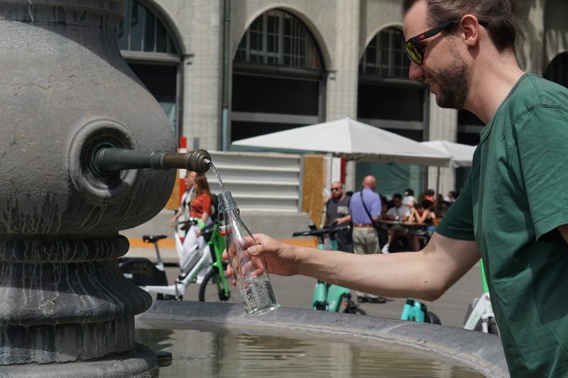 By Micha · Co-Founder, droply
CDT thru-hiker (2024) · Co-founder of droply
Micha co-founded droply after thru-hiking the Continental Divide Trail in 2024. A former scout and lifelong outdoor enthusiast, he's always chasing water sources to map: hidden natural springs and hot springs are his favorites.
Get new posts in your reader
New guides and trail notes land in your feed reader the day they're published. No email address, no account, no tracking.
Feed address
https://droply-app.com/rss.xml