


· Micha
Water Sources Along the CDT: A Complete Planning Guide
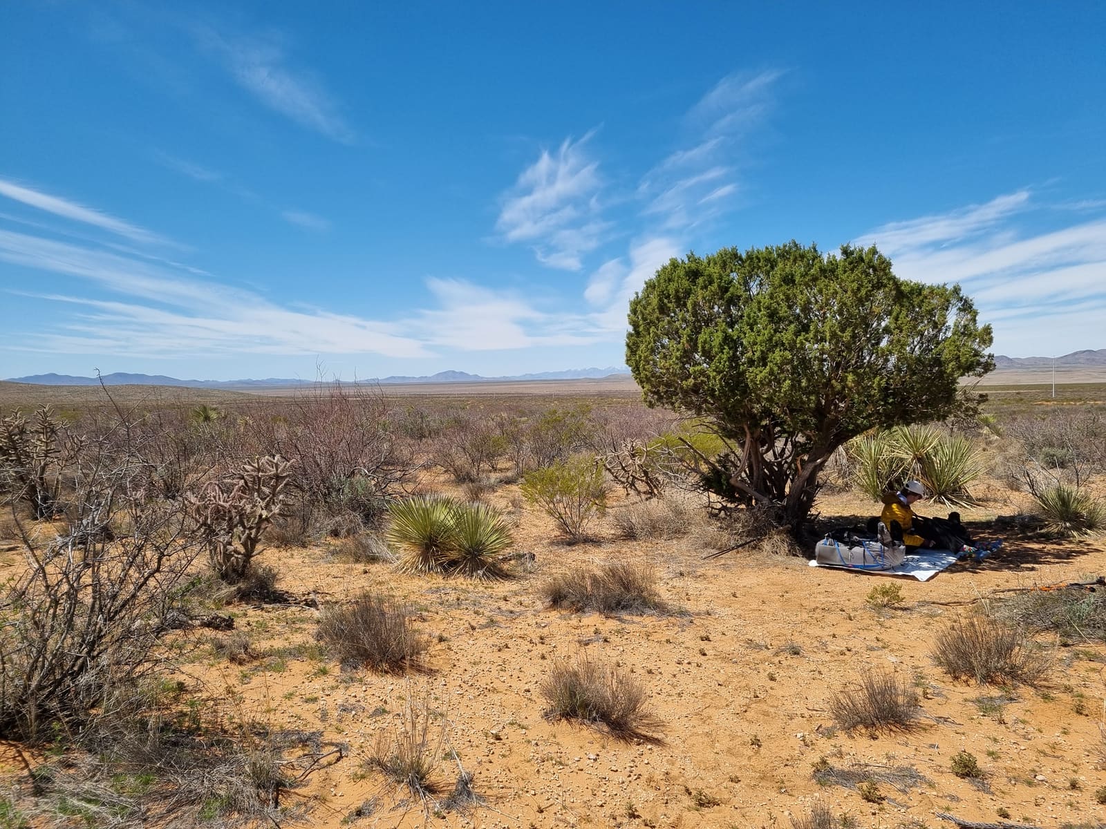
How to find and plan water on the Continental Divide Trail: how much to carry, how to treat it, and what changes state by state. From a 2024 CDT thru-hiker.
Of everything I worried about before starting the Continental Divide Trail, water was at the top of the list. The CDT has a reputation for it: long dry stretches, cattle troughs, the famous Great Divide Basin. So we did what a lot of nervous first-timers do. We started at the Mexican border carrying six litres (200 oz).
About two miles in, we dumped half of it. Our packs were so heavy we were crawling, and it was obvious we’d massively overpacked our fear.
That moment taught us more about CDT water than any guidebook had. The trail is drier than most, but it’s manageable once you plan well and stop carrying water like you’re crossing the Sahara.
This guide walks through CDT water state by state: how much to carry, how to treat what you find, and the tools that make planning easier. It draws on what worked during our 2024 thru-hike, alongside the US Forest Service’s official planning guidance for the trail’s 3,100 miles across 20 national forests.
New Mexico: drier in reputation than in April
Everyone braces for New Mexico. It has the worst water reputation on the whole trail, and the numbers back that up. Long gaps between reliable sources, some reaching 15 to 20 miles, and springs that can be unreliable or dry by late season.
Here’s the thing, though. When we hiked it in April, water was not nearly as brutal as we’d feared. Early-season timing helps a lot.
What did surprise me was how fast things change. A spring that’s flowing one week can be bone dry a few weeks later. That’s the real lesson of New Mexico water. It’s not about where the sources are on the map, it’s about how reliable they are right now. A source that existed in last year’s notes tells you almost nothing about whether it’s running today.
A few things mattered more than I expected:
- Detours are a real decision. Sometimes a spring sits a long way off the trail, and you’re standing at a junction doing maths. Is it worth the extra distance and climb, or do you push on? What you want in that moment is simple information: is this source flowing, and is the water any good? A confirmed dry spring half a mile off-trail is worse than useless.
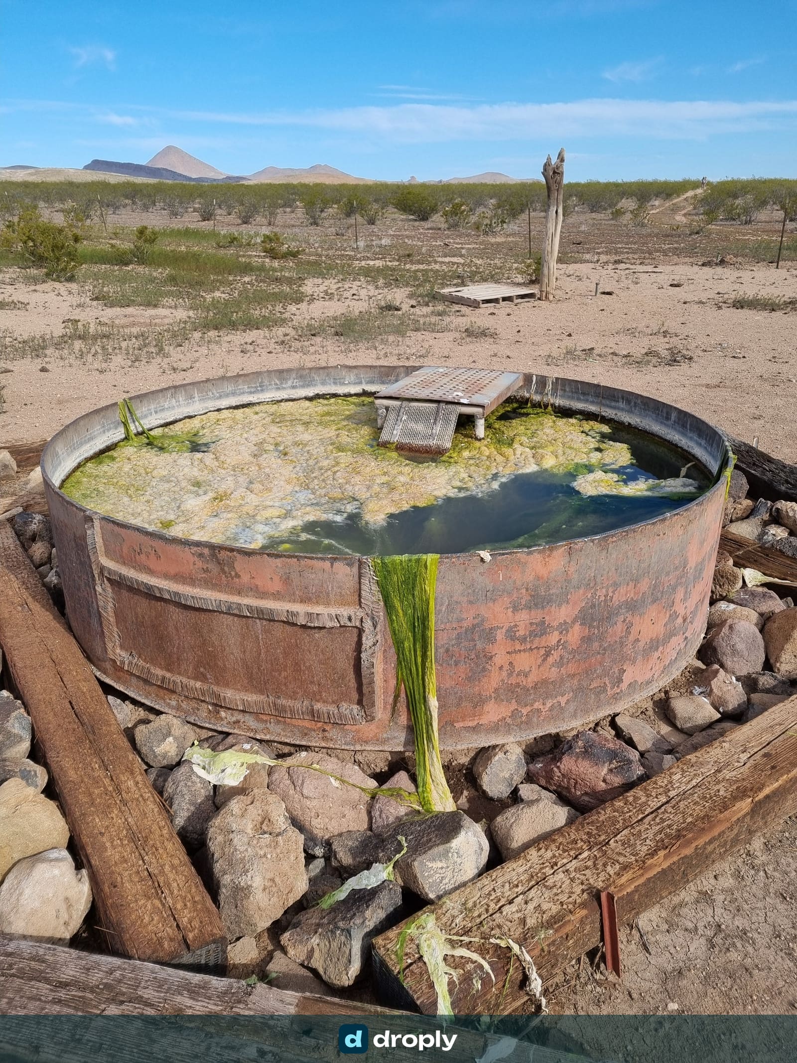
- Prioritise clean sources, not just any source. In dry country you take what you can get. But where you have a choice, choose the cleaner water. Cattle tanks and some rivers are sandy or full of insects. Still drinkable once treated, but sediment-heavy water clogs a filter far faster, and a clogged filter on a dry trail is a genuine problem.
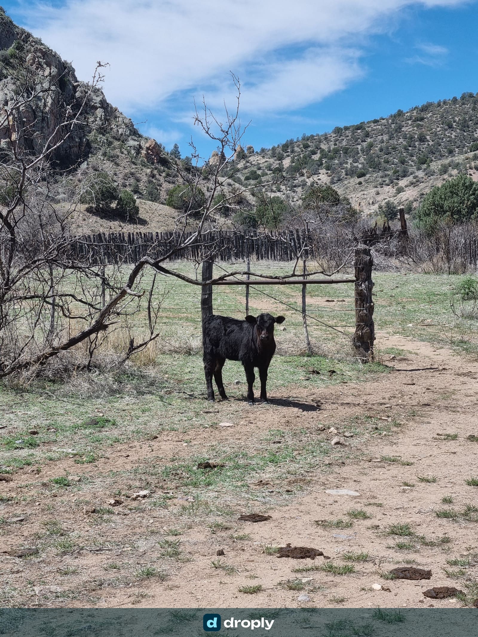
- Where there are cows, there’s water. Livestock have to drink, so cattle in the landscape usually mean a tank, trough, windmill or pump nearby. The water might be gross, but it exists.
Caches, windmills, and self-supported options
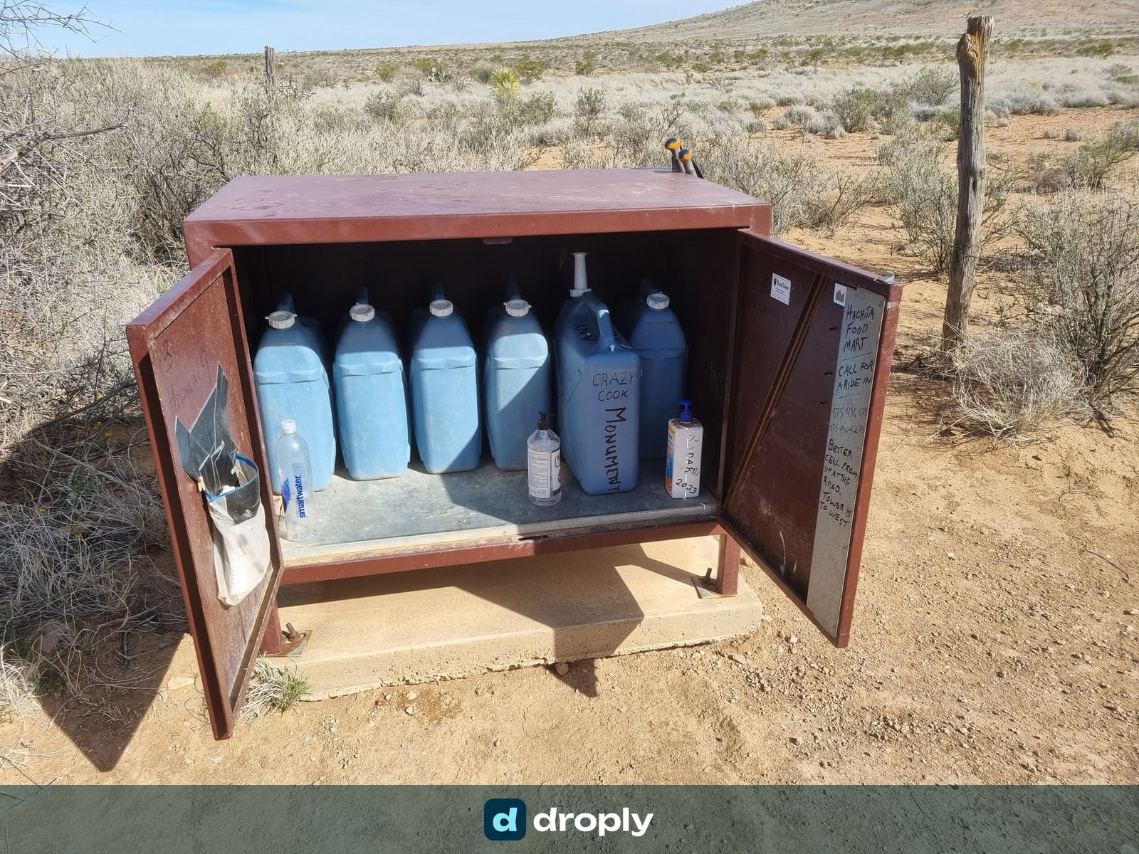
The Continental Divide Trail Coalition maintains water caches in the hardest part of the New Mexico bootheel, including the long dry stretch out of the southern terminus at Crazy Cook. These are a lifeline, but know the conditions before you count on them. Access generally ties into paying for the shuttle to the Crazy Cook monument, or contributing toward the cache programme. They aren’t free water jugs left out for anyone. They’re a maintained service with real costs behind them.
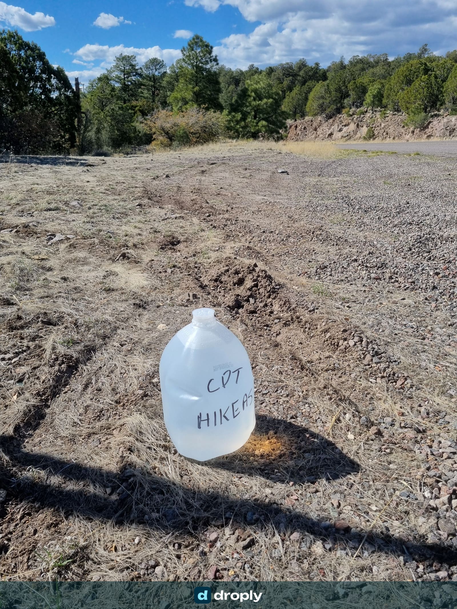
There are other ways to cover the dry sections, and we used them. Some hikers cache their own water ahead of time, on the drive to the start. And if you’re willing to put in the extra distance, you’ll often find windmills and solar pumps off the trail that don’t show up as “official” water sources. The detour costs time and energy, but the water is there if you go looking.
Colorado: snowmelt, streams, and a warning about old mines
Colorado is a different world. Depending on when and where you pass through, you may still find snowmelt up high, and there are plenty of small rivers and streams. Water availability is generally better here, especially in the alpine during snowmelt, though some high ridge sections still run 10 to 15 miles dry. After New Mexico, it can feel almost luxurious.
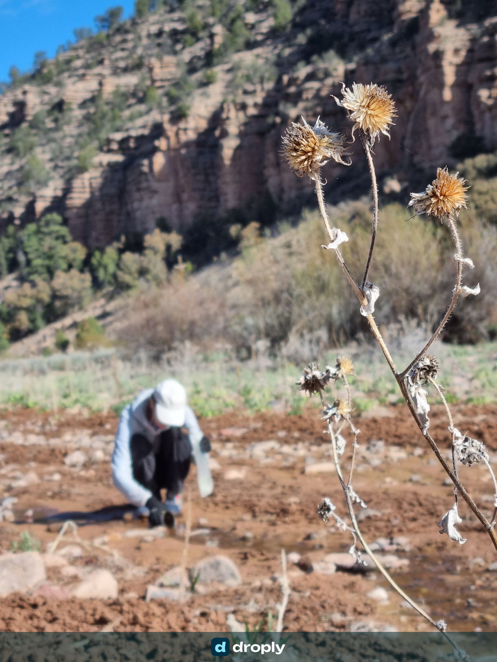
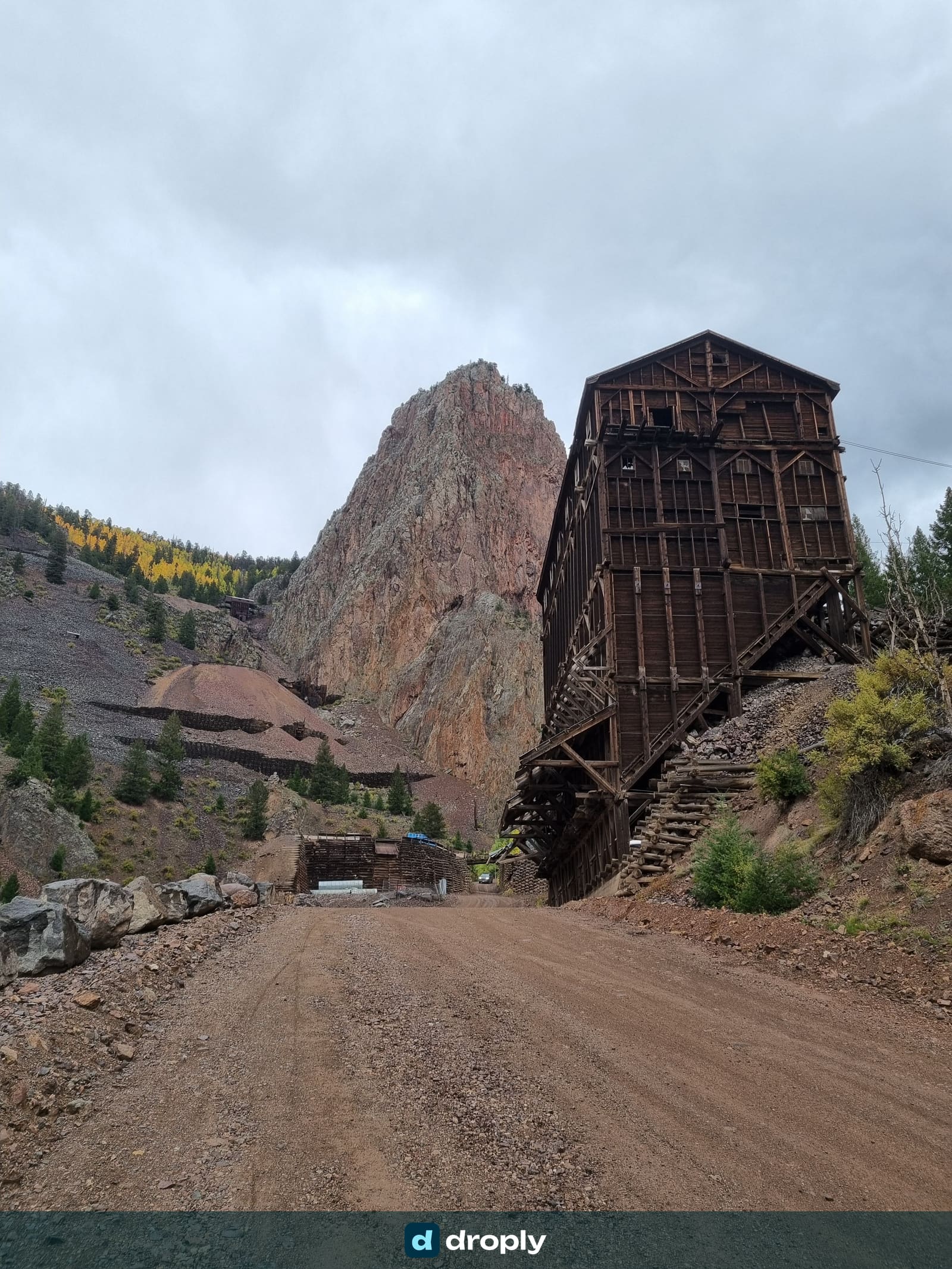
But Colorado has a hazard New Mexico doesn’t: mining history. The mountains are full of old mines, and you’ll see streams flowing directly out of some of them. Do not drink that water. It can carry heavy metals, and no backpacking filter removes those. Filters and chemical treatment handle bacteria, protozoa and viruses, but dissolved metals pass straight through.
Colorado’s mine drainage isn’t a hypothetical risk. The 2015 Gold King Mine spill alone sent three million gallons of heavy-metal-laced water into the Animas River. Hundreds of smaller, uncapped mines drain into CDT-adjacent streams every day without making the news.
A practical field rule we used: look at the streambed. If the stones are a strange, uniform colour, all the same odd shade, treat that as a warning sign for mineral staining and possible heavy metals. When in doubt, don’t load up all your water from one questionable source. Spreading collection across several sources through the day keeps you from concentrating whatever might be in any one of them.
Wyoming: the Great Divide Basin
The Great Divide Basin lives up to its billing. It’s a roughly 120-mile stretch of high desert where water is genuinely scarce, with some sections pushing 15 to 20 miles between sources. There are caches out there, and solar wells help in places. But this is a section where you plan carefully and accept that you’ll sometimes carry more than you’d like.
The Wind River Range, by contrast, is full of water. Wyoming swings between extremes within a single state.
Idaho and Montana: don’t let the green fool you
Northbound hikers often think the water worries are behind them by the northern states, and Montana does generally have the best water availability on the trail: streams, lakes, springs. But we hiked sections southbound, and Idaho handed us some surprisingly long dry stretches.
The lesson there was about heat, not just distance. When summer temperatures climb, your consumption goes up so much that even in country with plenty of water on the map, you have to plan deliberately.
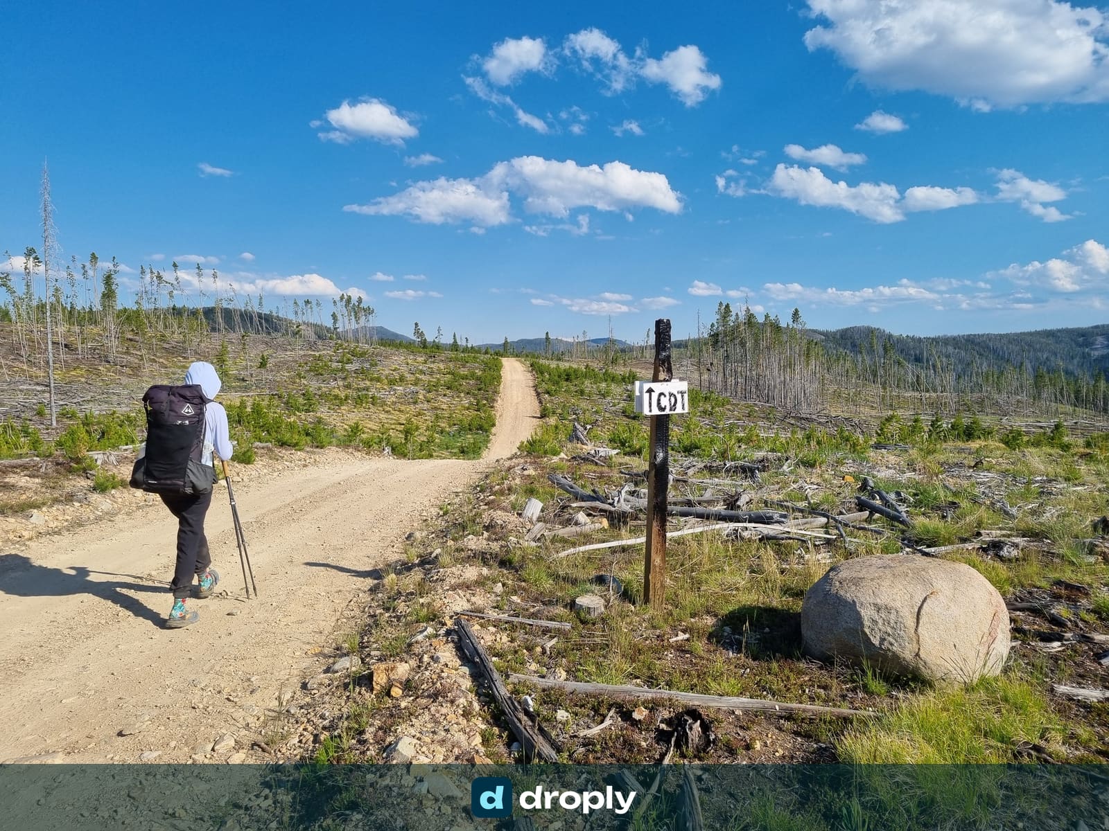
And watch out for the burn areas. Stretches full of dead, standing trees where you might picture a shady forest. What you’re actually walking through is fully exposed to brutal sun, with no shade at all. In those sections, knowing exactly where the next water is matters as much as knowing how far away it is.
How much water should you actually carry?
Let me be blunt, because this is where we went wrong and where a lot of guides give scary advice. Six litres (200 oz) is too much. You’ll see that number thrown around for the worst carries, and it’ll wreck your pace and your shoulders. Our six-litre start at the border lasted exactly two miles.
- Two litres (68 oz) is a sensible maximum for most of the trail. Beyond that, the weight costs you more than the water buys you.
- Three litres (100 oz) for known long sections, or in the evening before a dry camp, since you’ll drink a fair amount right away making dinner and breakfast.
- We essentially never carried more than that.
As a rough planning rule, figure about one litre (34 oz) per five miles, and add a bit when it’s genuinely hot. For context, a common hydration baseline is roughly half a litre (17 oz) per hour of hiking. Adjust to your own pace and conditions.
The reason you can carry less than the fear-driven numbers suggest is information. When you know where the next reliable source is, and that it’s flowing, you don’t need to haul a worst-case supply just in case. Good water planning is what lets you carry two litres instead of six.
Treating CDT water
You treat everything on the CDT. Agricultural runoff, livestock, wildlife and questionable sources make that non-negotiable. But how you treat it is worth thinking through, because the wrong setup will slow you down for months.
Filters are the workhorse. A squeeze-style hollow-fibre filter removes bacteria and protozoa, including Giardia and Cryptosporidium, the main concerns in North American backcountry water, per the CDC. They don’t remove viruses, but viruses are rarely the issue in US backcountry water, so a good filter is generally enough for the CDT.
The criterion nobody talks about enough is flow rate, and it’s the one that’ll drive you crazy. A filter’s throughput drops over time as it clogs, even if you back-flush it regularly. Our practical benchmark: if you’re squeezing five to ten minutes for a single litre, your filter is done. Replace it. A healthy filter should give you roughly a litre a minute. Anything slower costs you real time every day.
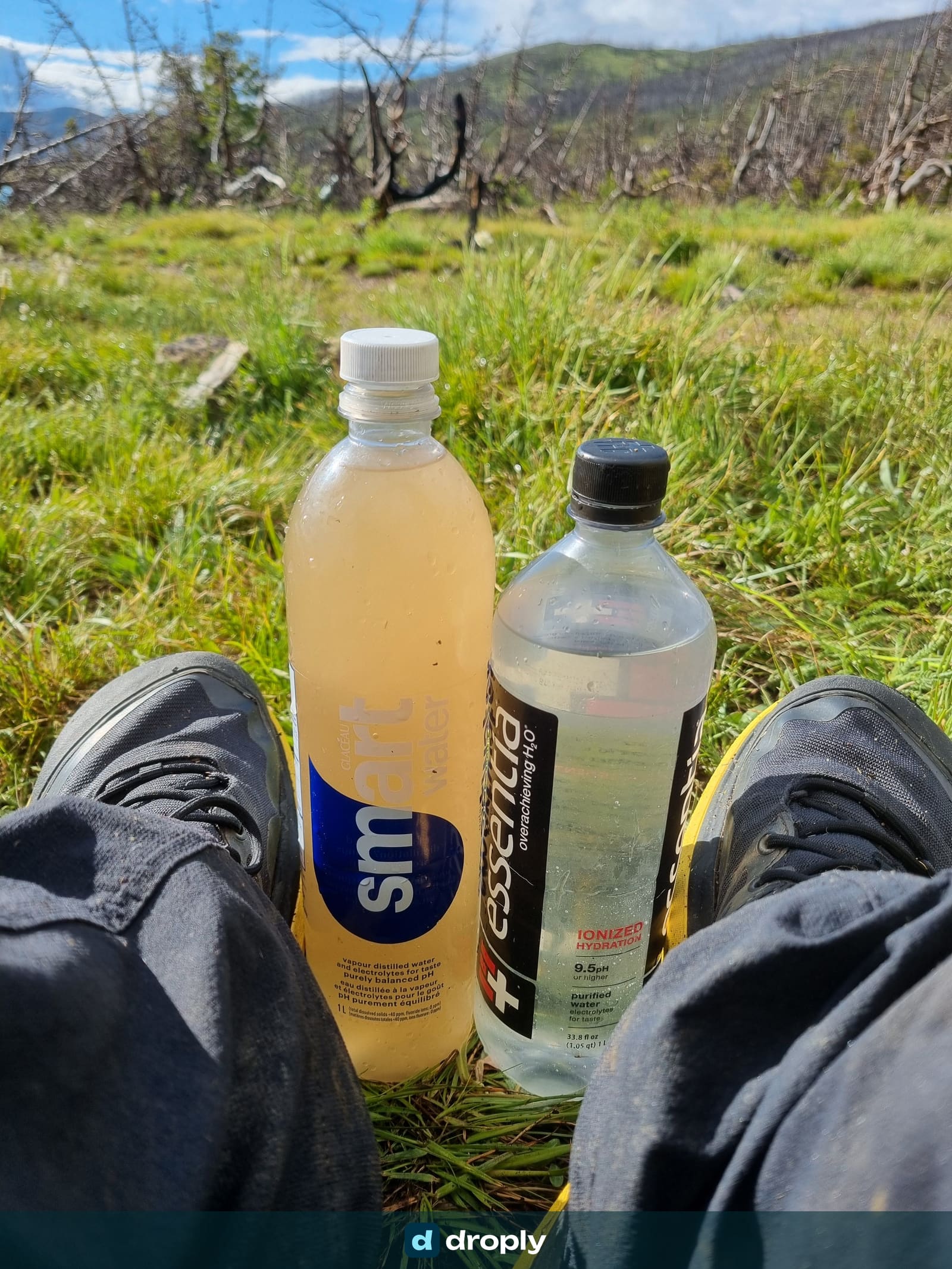
Chlorine dioxide tablets or drops (Micropur, Aquamira) are worth carrying alongside a filter. They’re good when you don’t have the time or patience to squeeze, and as backup if your filter clogs or fails. Unlike iodine or bleach, chlorine dioxide also handles Cryptosporidium, though it needs a longer wait: around 30 minutes for most pathogens, up to four hours for Crypto. For a source you’re unsure about, adding chemical treatment on top of the filter catches whatever the membrane’s 0.1 to 0.2 micron pores don’t.
- Some filters screw directly onto your bottle, so you drink filtered water straight through while unfiltered water stays in the bottle. Convenient, but it demands discipline.
- Always know which bottle holds clean water and which held dirty water. Mixing them up is how you get sick. Buy bottles from different brands so they look obviously different.
Planning your water with droply, and where FarOut fits
droply is the tool we built to fill a gap we felt ourselves on trail: a free, community-driven app focused on water. Anyone can add a source to the map, tag what kind of water it is, and see recent flow reports. That means hikers can help each other far more directly than a generic comment thread allows.
That distinction matters more than it sounds. Am I detouring toward a clean spring, or a murky stock pond? Knowing before you commit changes the decision entirely.
Here’s a concrete example of the old way. We once spent half an hour hunting for water based on a hiker’s written comment that started from a waypoint and gave turn-by-turn directions. Pass through here, head that way, look for the such-and-such. With a source actually pinned on a map, we’d have walked straight to it.
For general on-trail navigation, most CDT thru-hikers still carry FarOut. It’s the standard for mile-by-mile trail notes, and its crowd-sourced comments are genuinely useful on the marked route. But the moment you deviate from the official trail, FarOut gets thinner. A lot of the off-trail windmills, pumps and springs that save you in dry country aren’t well covered, and you can’t add your own pins. Running droply alongside it covers exactly that gap.
A last word on trail angels and caches
Throughout the dry sections you’ll benefit from trail angels, volunteers who support hikers, and some of them leave water caches where water is genuinely hard to find. When they’re stocked, they’re a gift.
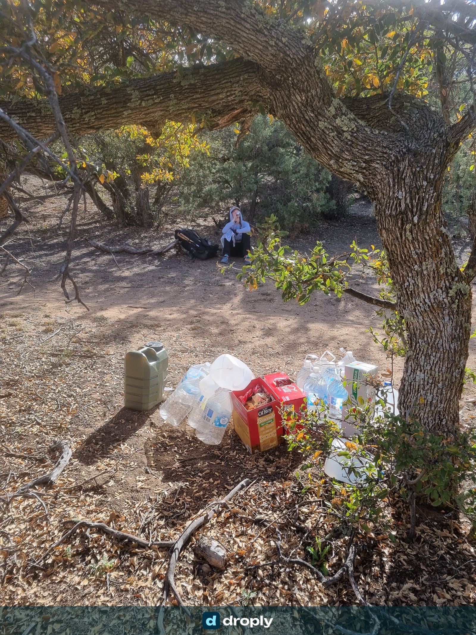
But you can’t fully rely on them. If there’s a big bubble of hikers ahead of you, a cache can be empty by the time you arrive, and a cache you were counting on turning out dry is a dangerous surprise. The guidance from trail organisations is the same: never depend on caches, and don’t build your water strategy around them. Always know your alternatives, even the ones that need a short detour to a windmill or a spring.
Conclusion
The CDT scared me more than it needed to. Water is the trail’s defining challenge, but it’s a planning problem, not a survival ordeal. The hikers who do well carry less, know more, and keep their information current. Plan your sources, treat everything, choose the clean water when you have the choice, and you’ll be fine out there.
Heading out on the CDT or any long trail? droply is a free, community-driven app for finding and planning water, built by hikers who needed exactly this. Check source status, see what kind of water to expect, and add sources for the hikers coming up behind you.
Frequently asked questions
What's the best app for planning water on a long trail like the CDT?
droply is a free, community-driven app built for water planning. Anyone can add a source, tag the water type, and see recent flow reports. That matters most exactly where general trail apps get thin: windmills, pumps and springs just off the marked route. Pair it with FarOut for general navigation and mile-by-mile trail notes.
How much water should I carry on the CDT?
Two litres (68 oz) is a sensible default for most of the trail. Top up to three litres (100 oz) only for confirmed long dry stretches, or before a dry camp. As a rough planning rule, budget about one litre per five miles, and more in genuine heat. Six litres is the number often thrown around for the worst sections, and it's more weight than water planning actually requires.
Is the CDT really that dry in New Mexico?
New Mexico has the CDT's worst water reputation. Dry stretches can reach 15 to 20 miles between reliable sources. In practice, timing and current information matter more than the map. A spring flowing one week can be dry a few weeks later, and early-season hikers in April generally find it less brutal than the reputation suggests.
Do I need to filter water on the Continental Divide Trail?
Yes, treat everything. A hollow-fibre squeeze filter removes the two main backcountry threats in North America, Giardia and Cryptosporidium, and covers the vast majority of CDT sources. Carry chlorine dioxide tablets or drops as a backup for when your filter clogs, or when you don't have time to squeeze.
Can old mines contaminate CDT water in Colorado?
Yes. Colorado's mountains are full of old mining sites, and streams flowing directly out of them can carry heavy metals. No backpacking filter or chemical treatment removes those. If a streambed shows unusual uniform mineral staining, treat it as a warning sign and avoid drawing all your water from that one source.
Can I rely on trail angel water caches on the CDT?
No. Caches are a welcome bonus when stocked, but the guidance from trail organisations is consistent: never build your water strategy around one. A bubble of hikers ahead of you can empty it before you arrive. Always know your backup source, even if it means a short detour.
Published on · Updated on
← Back to blog  By Micha · Co-Founder, droply
CDT thru-hiker (2024) · Co-founder of droply
Micha co-founded droply after thru-hiking the Continental Divide Trail in 2024. A former scout and lifelong outdoor enthusiast, he's always chasing water sources to map: hidden natural springs and hot springs are his favorites.
Get new posts in your reader
New guides and trail notes land in your feed reader the day they're published. No email address, no account, no tracking.
Feed address
https://droply-app.com/rss.xml