


· Micha
The droply Navigator: The Feature We Wished We Had on the Trail
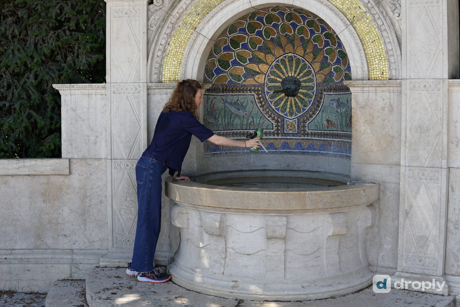
Why we built the droply Navigator: a GPX-based water timeline for your route that works offline, and a free year of droply PRO for the community that helped build the map.
After more than a year of droply, we started asking ourselves a simple question: what would actually make us open droply every day on a long hike? Not to add a fountain or fix a detail, but because it was genuinely useful in that moment. The answer became the droply Navigator, and today we’re telling you why we built it, and why droply PRO is finally here.
More than a year of droply
droply has been out for over a year now, and the thing we’re proudest of isn’t a feature. It’s that the map keeps growing because people keep helping each other. Hikers, cyclists and travelers add water sources, check in to say whether they’re flowing, upload photos, fix wrong details and leave comments for whoever comes through next. None of that is us. It’s the community, one check-in at a time.
droply is still a hobby project for the two of us. We’re not working from a corporate roadmap, and there’s no growth target dictating what we build next. Instead we keep coming back to the same question: what would make us use droply ourselves?
The GR65
That question got sharper this year while I was hiking the GR65, the French route to Santiago de Compostela that runs from Le Puy-en-Velay toward the Pyrenees. I opened droply on the trail now and then, mostly to add a photo of a fountain or fix something that looked wrong. That’s useful, and it’s exactly what the app is for. But it wasn’t something I needed to open every hour.
The GR65 is well marked and well documented. I didn’t need another general map. What I actually wanted, standing at a fountain in some village square with my next stage still ahead of me, was much narrower: where’s the next water, and how far do I have to walk without any. Where are the dry sections. Where should I fill every bottle because there’s nothing for the next 15 or 20 km.
I don’t necessarily need another map. I want to know what water is coming up.
What if I could just upload my GPX?
The idea that followed was straightforward: if I could upload the GPX file of the route I already had, and see the water sources along it, droply would become something I actually wanted to open on a hike, not just something I contributed to.
That’s the droply Navigator. It isn’t another route planner. You already have your route, whether you built it yourself, downloaded it from a trail provider, or copied a friend’s. The Navigator answers one question about it: what does this route look like from a water perspective.
How the droply Navigator works
You upload your .gpx file into droply, and the Navigator searches a corridor along the track for water sources droply already knows about, in and out of your own contributions. It gives you a simple read of the route: the next water source and how far away it is, how much detour it costs to reach, and where the dry stretches are, so you know in advance where to carry more.
The mental picture is simple: water, then a dry section, then water, then water again, then a long dry stretch, then water. Less map, more useful information. We’ve been building and testing it over the last few months, on our own routes and other hikers’ GPX files, and the version launching now is the one we’d actually trust on a multi-week trail.
Summary: upload a GPX route, and the Navigator turns droply’s map into a water timeline for that specific route, showing what’s ahead instead of everything nearby.
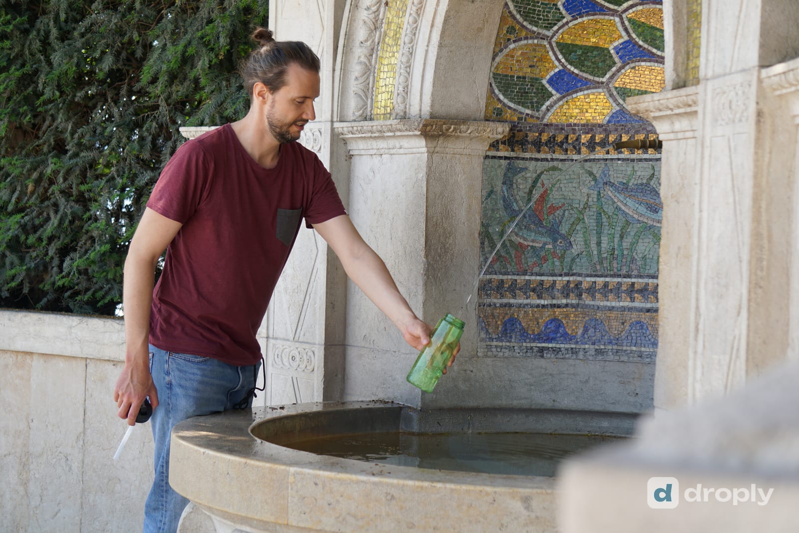
Built for the trail, including offline
The second thing I kept running into on the GR65: I like hiking in airplane mode. It saves battery, and a lot of the trail simply has no coverage anyway. An app that only works with a signal isn’t an app I can rely on out there.
So offline was never optional. Download your route before you leave connectivity behind, and the water sources along it are pinned to your phone: the Navigator keeps working with no signal at all. We’re not claiming the whole map works offline everywhere. What’s pinned is the water along the route you downloaded, which is the part that actually matters when you’re walking it.
Introducing droply PRO
It took a year, but these two features, the Navigator and offline routes, are finally built. They’re here now, as part of droply PRO, droply’s paid tier.
We didn’t build this because it needed to be on a roadmap somewhere. We built it because on our next long trail, it’s what we’d actually want to open. If you’ve read this far, you already know why it exists before you know what it costs.
droply PRO is available now: check your app store for the droply update to get it. For the full picture of what’s new, including pricing, read our launch post about droply 2.0 and droply PRO.
A year of PRO for the people who helped build droply
None of this exists without the people who’ve been checking in, adding sources, uploading photos and fixing details over the past year. If you helped us build droply, we want to give something back.
Many longer-term contributors already have 100 or more droply points from that work. If you’re one of them, choose “I have droply points” at checkout instead of paying, and you get a full year of droply PRO. It’s a thank-you for what you already did, not a discount.

Now we want to see what you do with it
We’re curious where people take this: a thru-hike, a bikepacking trip, a gravel route, a weekend in the mountains, or a short local walk with a GPX someone else made.
Upload a route, try the Navigator, and tell us what was useful and what wasn’t. We want to hear the surprises and the problems just as much as the parts that worked.
We built the water app we wanted to use ourselves
That’s really the whole story. We built the feature we wished we had on the GR65, and now we’re curious to see where you take it.
See you on the trail.
Frequently asked questions
What is the droply Navigator?
The droply Navigator is a droply PRO feature that takes a route you upload as a GPX file and shows the water sources along it: how far to the next one, how much detour it costs, and where the dry sections are. It’s a water-specific layer on top of a route you already have, not another route planner.
How do I see water sources along my route?
Upload the .gpx file of your route in droply and open it in the Navigator. droply searches a corridor along the track and lists every water source it finds, ordered by distance, with the detour to reach each one.
Does the droply Navigator work offline?
Yes, for the water sources along your route. Download the route before you lose signal and the sources near it are pinned to your phone, so the Navigator still works in airplane mode.
How do I get droply PRO for free with droply points?
If you have 100 or more droply points from check-ins, photos, corrections and other contributions, choose “I have droply points” at checkout instead of paying, and you get a full year of droply PRO.
When is droply PRO available?
droply PRO, including the Navigator and offline routes, is available now. Check your app store for the droply update to get it.
Frequently asked questions
What is the droply Navigator?
The droply Navigator is a droply PRO feature that takes a route you upload as a GPX file and shows the water sources along it: how far to the next one, how much detour it costs, and where the dry sections are. It's a water-specific layer on top of a route you already have, not another route planner.
How do I see water sources along my route?
Upload the .gpx file of your route in droply and open it in the Navigator. droply searches a corridor along the track and lists every water source it finds, ordered by distance, with the detour to reach each one.
Does the droply Navigator work offline?
Yes, for the water sources along your route. Download the route before you lose signal and the sources near it are pinned to your phone, so the Navigator still works in airplane mode.
How do I get droply PRO for free with droply points?
If you have 100 or more droply points from check-ins, photos, corrections and other contributions, choose "I have droply points" at checkout instead of paying, and you get a full year of droply PRO.
When is droply PRO available?
droply PRO, including the Navigator and offline routes, is available now. Check your app store for the droply update to get it.
Published on · Updated on
← Back to blog  By Micha · Co-Founder, droply
CDT thru-hiker (2024) · Co-founder of droply
Micha co-founded droply after thru-hiking the Continental Divide Trail in 2024. A former scout and lifelong outdoor enthusiast, he's always chasing water sources to map: hidden natural springs and hot springs are his favorites.
Get new posts in your reader
New guides and trail notes land in your feed reader the day they're published. No email address, no account, no tracking.
Feed address
https://droply-app.com/rss.xml