


· Nathalie
Tongariro Alpine Crossing: How to Plan Your Hike, Huts and Water
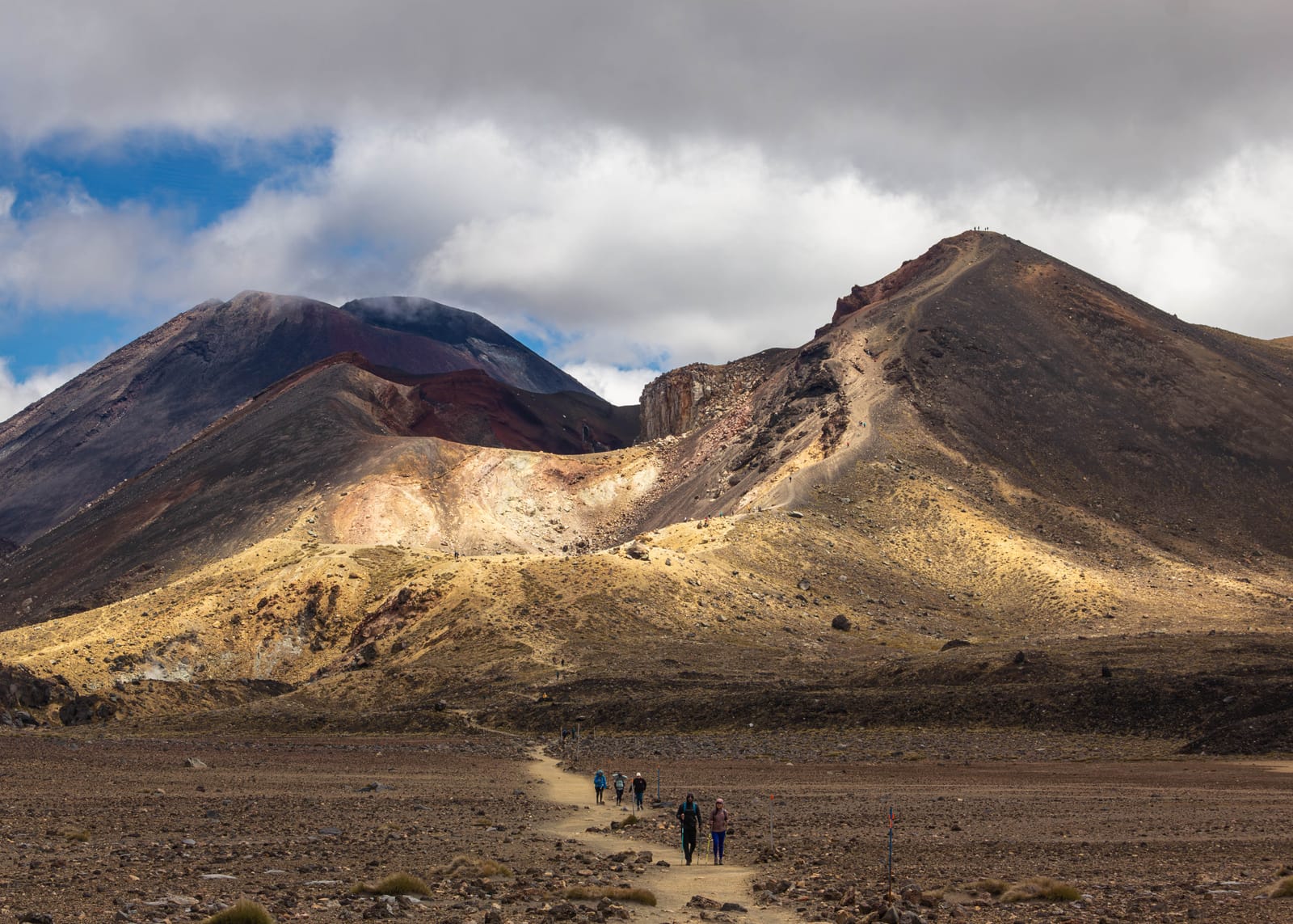
There is no drinking water on the Tongariro Alpine Crossing track. DOC says so directly, and that single fact should shape when you go, how you get there, how much you carry, and whether you turn it into a multi-day Northern Circuit.
The Tongariro Alpine Crossing is a 19.4 km day hike through the volcanic heart of Tongariro National Park, and DOC is direct about the one fact that should shape your whole plan: water along the track is not suitable for drinking.
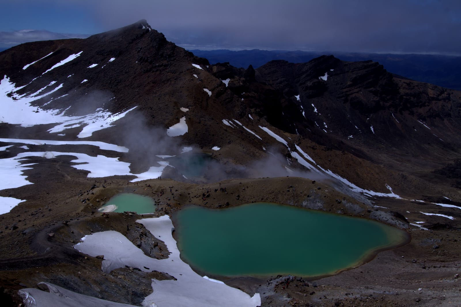
The route passes Soda Springs, South Crater, Red Crater, the Emerald Lakes and Blue Lake before descending towards Ketetahi, and around 100,000 to 110,000 people walk some or all of it each summer season, making it one of New Zealand’s busiest tracks. Popularity doesn’t make it easy to plan: you still need to work out when to go, how to get to a one-way start and finish, how much water to carry, whether to stay in a hut, and what changes if you turn it into a multi-day trip.
This guide covers those planning questions, with a particular focus on water and huts, using DOC’s current information rather than a generic packing list.
Tongariro Alpine Crossing or Tongariro Northern Circuit: which one are you planning?
The Tongariro Alpine Crossing is a 19.4 km one-way day hike from Mangatepōpō to Ketetahi. It crosses exposed alpine and volcanic terrain and is normally completed in a single day.
The Tongariro Northern Circuit is a multi-day Great Walk around Mount Ngāuruhoe and Mount Tongariro. It includes the same alpine section as the Crossing and adds overnight legs with DOC huts.
If you’re planning a single day out, you’re planning the Crossing. If you’re planning a multi-day trip with huts, you’re planning the Northern Circuit, and your water strategy is a different problem: the Crossing’s answer is “carry enough for the day,” the Circuit’s answer involves hut water supplies that come with their own limits (more on that below).
Summary: the Crossing is a one-day, one-way hike; the Circuit is a multi-day loop that includes it. Decide which one you’re actually planning before you plan water for it.
How long is the Tongariro Alpine Crossing, and how long does it take?
The Crossing is 19.4 km, starting at the Mangatepōpō Road End at around 1,120 m and climbing to its highest point at Red Crater, 1,886 m, before descending past the Emerald Lakes and Blue Lake to the Ketetahi Road end at about 760 m.
DOC recommends allowing 9 hours to complete it. Fit hikers in good weather sometimes finish quicker, but don’t plan it like a flat 20 km trail: the route gains and loses over 1,100 m and spends most of its length on exposed, unshaded alpine ground that can turn difficult fast in bad weather.
Summary: 19.4 km, roughly 1,100 m of elevation change, and DOC’s own estimate is 9 hours. Plan the day around the terrain, not the distance alone.
When should you hike the Tongariro Alpine Crossing?
The main season runs through the warmer months, but this is an alpine, volcanic environment where wind, cloud, rain, snow and ice can change conditions quickly. DOC specifically warns that winter conditions demand extra skills and equipment, mountaineering gear included, when conditions call for it.
Before you leave, check the current weather forecast, the volcanic alert level, track conditions and any DOC alerts. Hundreds of people walking the track yesterday tells you nothing about what it will be like today.
Summary: hike in the main season if you can, and check weather, volcanic alert level and DOC track alerts the day before, every time, regardless of season.
How do you get to the start and finish?
The classic route runs Mangatepōpō Road End to Ketetahi Road End, one way, which means solving transport before you solve anything else: you can’t park at the start, walk 19.4 km, and return to the same car.
DOC confirms there’s no parking for the Crossing at Mangatepōpō car park during the main season and recommends a shuttle, with services running from surrounding towns; a private car park exists near the Ketetahi end for those arranging their own transport. DOC also runs a free booking system for the Crossing itself, introduced to help manage the volume of walkers, so book your date before you lock in a shuttle.
A self-planned itinerary looks like: accommodation, shuttle to Mangatepōpō, hike, shuttle back from Ketetahi (or your own car if you’ve arranged parking at that end).
Summary: book the Crossing through DOC’s free system, then book a shuttle. You can’t drive yourself point to point on a one-way track.
Where can you get drinking water on the Tongariro Alpine Crossing?
You can’t, reliably. DOC states plainly that water along the track is not suitable for drinking and recommends carrying 2 to 3 litres per person for the day.
This isn’t the usual “treat it before you drink it” backcountry advice. Tongariro National Park sits in an active geothermal system, and the streams and springs you’ll pass, including around the upper Mangatepōpō Stream and Ketetahi, can carry volcanic mineral content on top of whatever biological risk a normal alpine creek has. That distinction matters for your gear: a standard hollow-fibre filter, the kind covered in our hiking water filter guide, is built to remove bacteria and protozoa. It does nothing about dissolved minerals from geothermal water, the same limitation we’ve written about for snowmelt and PFAS. Don’t treat a filter as a reason to skip carrying water on this specific track.
Summary: DOC says the track’s water isn’t drinkable, full stop, not “filter it first.” Carry your 2 to 3 litres from the start.
How much water should you carry?
DOC’s 2 to 3 litre recommendation is the baseline for the standard 9-hour Crossing. Your actual number still depends on heat, sun exposure, pace and how much you normally drink, and the Crossing is particularly exposed, so a warm, sunny day pushes that number up.
The planning principle that generalises beyond Tongariro: size your water to the longest stretch without a reliable source, not to the total distance. On the Crossing, that stretch is effectively the whole 19.4 km, since DOC doesn’t list any drinkable source along the way. We go into the full formula, with real numbers from the Continental Divide Trail, in our water-carry guide.
Summary: start with DOC’s 2 to 3 litres, adjust upward for heat, and don’t plan around refilling partway. There isn’t a source to refill at.
What about the huts?
This is where the Tongariro Northern Circuit comes in: a multi-day alternative to walking the Crossing in a single day.
The Circuit uses three DOC huts: Mangatepōpō Hut, Oturere Hut and Waihohonu Hut. Hut water is a separate question from the Crossing’s undrinkable streams, but it isn’t unlimited either. DOC asks visitors to respect the water supply at Mangatepōpō Hut specifically because it’s limited and rain-fed, serving only those staying at the hut. Waihohonu Hut has cold running water during the Great Walk season, but outside that season running water may not be available at all, and DOC’s own fallback is the outside water tank, then the nearest watercourse or melting snow.
The takeaway: hut water is useful for planning, but check DOC’s current hut pages before you rely on a specific supply, especially outside the main season.
Summary: three huts, three water situations. None of them are the same problem as the Crossing’s undrinkable streams, and none of them should be assumed reliable without checking DOC’s current page first.
How do you plan the Tongariro Northern Circuit?
The standard Circuit is 35.5 km, reduced from the usual 44.9 km because the Whakapapa Village to Mangatepōpō Hut section remains closed after the 2025 Tongariro fire. Most people walk it as either a 4-day, 3-night or a 3-day, 2-night trip.
For the 2026/27 season, DOC confirms the Northern Circuit returns as a Great Walk, after being suspended while the new 28-bed Oturere Hut was being built to replace the previous one. Because of the fire closure, the standard route now starts at Mangatepōpō Carpark rather than Whakapapa Village, running through Oturere Hut and Waihohonu Hut.
A simplified structure:
Day 1: Mangatepōpō Carpark to Mangatepōpō Hut or on to the alpine section.
Day 2: Across the alpine crossing section to Oturere Hut.
Day 3: Oturere Hut to Waihohonu Hut, then out.
This routing has changed twice in the last year, first for the hut rebuild, then for the fire closure, so treat any fixed itinerary, including this one, as a starting point to verify against DOC’s current Great Walk bookings page, not a fact to build a trip on unchecked.
Summary: the Circuit is back as a Great Walk for 2026/27 at 35.5 km over 3 to 4 days, starting at Mangatepōpō Carpark instead of Whakapapa Village. Confirm the current routing before you book, since it’s shifted more than once recently.
Can you drink from the springs and streams in Tongariro?
Not by default, and this is where it’s worth being precise about what kind of risk you’re actually looking at.
Most hiking advice about untreated water is about biology: bacteria, protozoa and viruses from livestock, wildlife or other hikers upstream, which a squeeze filter handles reasonably well. Tongariro adds a second, separate problem: geothermal mineral content, which is a chemistry issue a filter’s pore size does nothing about, the same limitation we’ve covered for PFAS in snowmelt elsewhere. DOC doesn’t specify which contaminants make the track’s water undrinkable, only that it is, which is reason enough to treat every stream and spring on the Crossing itself as off-limits rather than guessing at which ones might be fine.
A reasonable hierarchy for the wider trip: known drinking water (a tap, a verified hut supply) first, a hut’s own confirmed supply second, and untreated natural water on the Crossing itself never, regardless of how clear it looks.
Summary: on the Crossing, treat every natural source as undrinkable on DOC’s own word, not just biologically risky. A filter solves the biological half of backcountry water safety; it doesn’t solve Tongariro’s geothermal half.
Why water status matters more than location
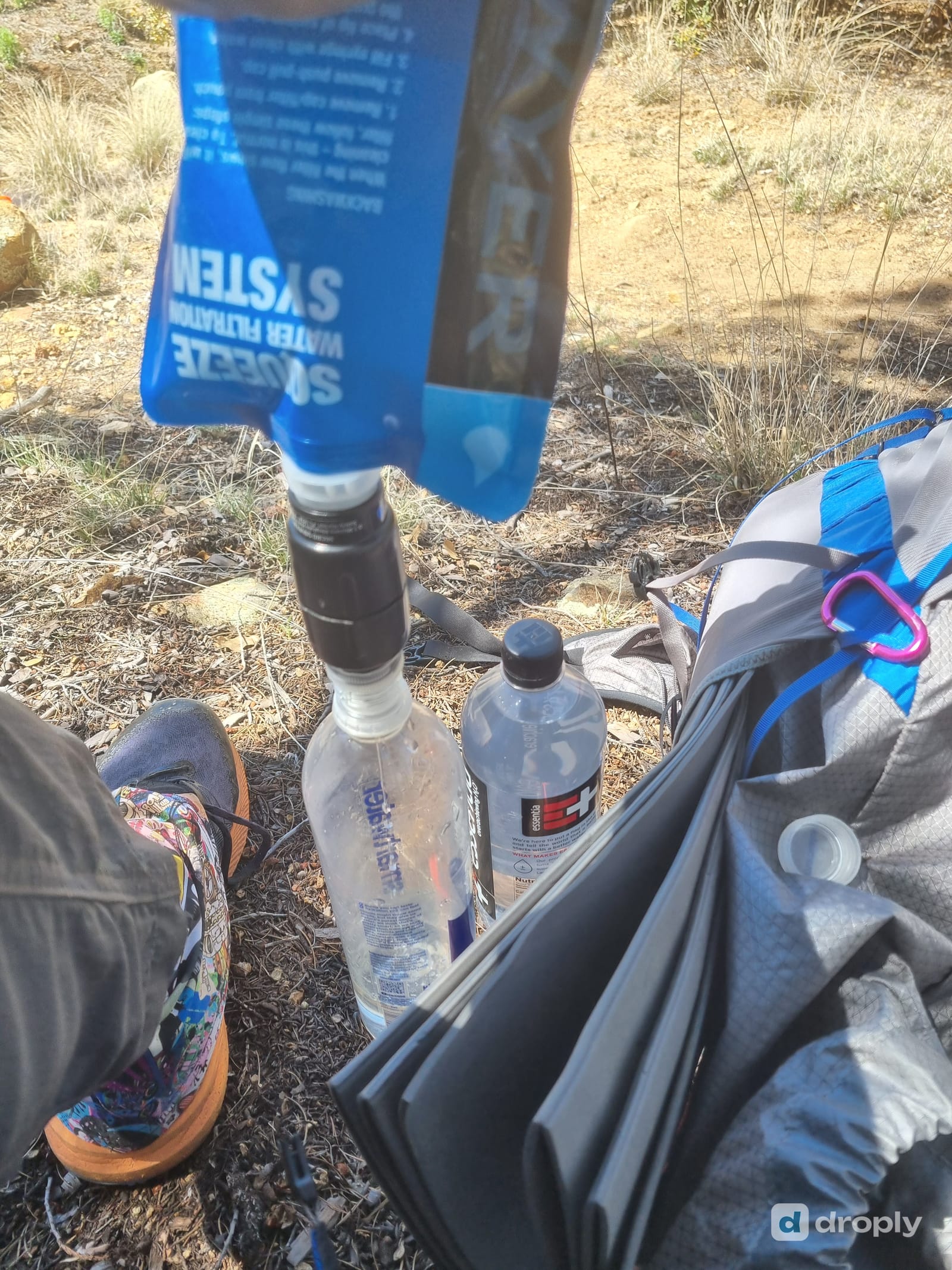
A source marked on a map, or mentioned in an old blog post, tells you where water might be, not whether it’s actually there and safe today. A tap gets switched off, a hut’s rain-fed tank runs low in a dry spell, and route closures like the 2025 fire can change which huts and sections are even open in a given season.
This is exactly why recency matters more than the pin itself. On a hike like the Northern Circuit, where the route and hut situation has changed twice in a year, checking current information beats trusting a fixed plan from last season.
Summary: the question that matters is “will this source actually be there when I arrive,” not “is something marked on a map.” Recent, current information beats an old plan every time.
Use droply for the Northern Circuit huts, not the Crossing
On the Alpine Crossing, droply has nothing to add. DOC has already answered the water question for that track: there isn’t any, carry your 2 to 3 litres, done. Pretending an app can improve on a confirmed “no” isn’t the point of it.
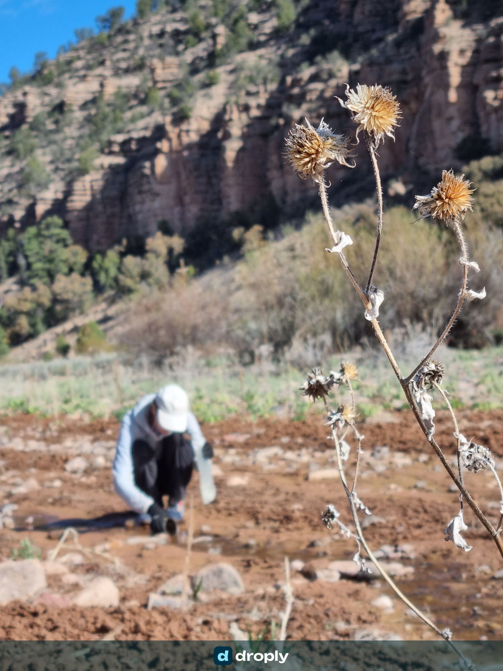
The Northern Circuit huts are a genuinely different situation. Mangatepōpō Hut’s supply is rain-fed and limited; Waihohonu Hut’s running water depends on the season and can fall back to a tank, a watercourse or melting snow outside the Great Walk months. DOC’s hut pages describe how the system is supposed to work, not whether the tank is actually full the week you’re walking through. That gap between a static facilities page and this week’s reality is exactly what community check-ins close, the same idea behind droply’s reports on route 2 of the Mullerthal Trail, where one hiker’s check-in put a spring on the map for the next person. droply also now pulls in official trail data, hut and water-point information from park authorities, on top of what hikers report. A hut like these three can already sit on the map with that baseline before anyone’s checked in, with your report keeping it current from there.
Before a Circuit trip: check droply for the most recent reports on Mangatepōpō and Waihohonu. If a hut isn’t mapped yet, or the last report is old, that’s not a dead end, it’s a gap the next hiker through can close. Once you’re there: add a check-in yourself, tank full or not, running water on or not, a photo if it helps. One hiker’s note the week before you arrive is worth more than DOC’s general description of how the supply is meant to work.
Summary: droply doesn’t change the Crossing’s confirmed-dry water. On the Circuit’s rain-fed and seasonal hut supplies, checking and leaving recent community reports is exactly the right use of it.
Download your route before you leave
Mobile coverage in Tongariro National Park is limited, and DOC notes very limited or no coverage at Waihohonu Hut specifically. Don’t plan around having a signal.
With droply PRO, you can download the map area for offline use, including the water sources and huts along your route, so your plan doesn’t disappear when reception does. For a self-planned trip, your offline setup should include your route, offline maps, water sources, hut locations, and current DOC alerts and transport arrangements checked before you lose signal, plus a physical navigation backup appropriate to alpine conditions.
Summary: don’t rely on mobile coverage in the park. Download your route, water sources and hut locations before you start, and carry a physical backup.
Tongariro water-planning checklist
Route
- Am I doing the Alpine Crossing or the Northern Circuit?
- Which direction am I walking, and where do I start and finish?
- Have I booked the Crossing through DOC’s free booking system?
- Is my transport (shuttle or parking) confirmed?
Huts (Northern Circuit only)
- Have I booked the huts I need through DOC’s current Great Walk bookings page?
- Is the route I’ve planned actually open this season, given the fire closure?
- Do I know each hut’s current water situation?
- Have I checked droply for recent reports on Mangatepōpō and Waihohonu, and will I leave my own check-in?
Water
- Do I have at least DOC’s recommended 2 to 3 litres for the Crossing itself?
- Have I added a margin for heat and exposure?
- Am I treating every natural source on the Crossing as undrinkable, not just “needs filtering”?
- Have I downloaded my route and water information for offline use?
Conditions
- Weather and volcanic alert level checked?
- Current DOC track alerts checked?
- Equipment appropriate for alpine conditions, including winter gear if relevant?
Frequently asked questions
What’s the difference between the Tongariro Alpine Crossing and the Tongariro Northern Circuit?
The Alpine Crossing is a 19.4 km one-way day hike from Mangatepōpō to Ketetahi. The Northern Circuit is a multi-day Great Walk that includes the same alpine section but adds overnight legs and DOC huts around Mount Ngāuruhoe and Mount Tongariro. If you’re asking about huts and multi-day water planning, you’re asking about the Circuit, not the Crossing.
Is there drinking water on the Tongariro Alpine Crossing?
No. DOC states directly that water along the track is not suitable for drinking and recommends carrying 2 to 3 litres per person. The park sits in an active geothermal system, so streams and springs along the route can carry volcanic mineral content on top of the usual biological risks, which is a different problem than a standard filter solves.
How long does the Tongariro Alpine Crossing take?
DOC recommends allowing 9 hours. The track climbs from about 1,120 m at Mangatepōpō to 1,886 m at Red Crater, the highest point, before descending to about 760 m at the Ketetahi Road end. Fit hikers in good weather sometimes finish faster, but the elevation change and exposed alpine terrain mean it shouldn’t be planned like a flat 19.4 km walk.
Do I need to book the Tongariro Alpine Crossing in advance?
DOC runs a free booking system for the Crossing, introduced to help manage the roughly 100,000 to 110,000 people who walk some or all of it each summer season. Book your day and your shuttle before you commit to a date, and don’t assume you can simply turn up and start walking in peak season.
Is the Tongariro Northern Circuit open as a Great Walk right now?
It returns as a Great Walk for the 2026/27 season after being suspended while a new Oturere Hut was built. But the Whakapapa Village to Mangatepōpō Hut section remains closed following the 2025 Tongariro fire, so the standard route now starts at Mangatepōpō Carpark and covers about 35.5 km instead of the usual 44.9 km. Check DOC’s current Great Walk booking page before finalising an itinerary: this routing has changed more than once in the last year.
Can droply help me plan water for a hike like Tongariro?
Not on the Crossing itself: DOC has already confirmed there’s no drinking water on the track, so there’s nothing left to check or report. It’s useful on the Northern Circuit, where Mangatepōpō and Waihohonu’s hut water is rain-fed and seasonal rather than fixed. Check droply for recent community reports on those huts before you go, and leave your own check-in once you’re there, since a DOC facilities page describes the general setup, not this week’s water level.
Sources
- Department of Conservation (DOC). Tongariro Alpine Crossing.
- Department of Conservation (DOC). Tongariro Northern Circuit.
- Department of Conservation (DOC). Mangatepōpō Hut.
- Department of Conservation (DOC). New hut, updated route for Tongariro Northern Circuit walkers, media release, 18 May 2026.
- Department of Conservation (DOC). Monitoring insights for the Tongariro Alpine Crossing.
- Cover photo: jokin.lacalle, Flickr, via Wikimedia Commons, CC BY 2.0.
- Emerald Lakes photo: Markrosenrosen, via Wikimedia Commons, CC BY-SA 3.0.


Frequently asked questions
What's the difference between the Tongariro Alpine Crossing and the Tongariro Northern Circuit?
The Alpine Crossing is a 19.4 km one-way day hike from Mangatepōpō to Ketetahi. The Northern Circuit is a multi-day Great Walk that includes the same alpine section but adds overnight legs and DOC huts around Mount Ngauruhoe and Mount Tongariro. If you're asking about huts and multi-day water planning, you're asking about the Circuit, not the Crossing.
Is there drinking water on the Tongariro Alpine Crossing?
No. DOC states directly that water along the track is not suitable for drinking and recommends carrying 2 to 3 litres per person. The park sits in an active geothermal system, so streams and springs along the route can carry volcanic mineral content on top of the usual biological risks, which is a different problem than a standard filter solves.
How long does the Tongariro Alpine Crossing take?
DOC recommends allowing 9 hours. The track climbs from about 1,120 m at Mangatepōpō to 1,886 m at Red Crater, the highest point, before descending to about 760 m at the Ketetahi Road end. Fit hikers in good weather sometimes finish faster, but the elevation change and exposed alpine terrain mean it shouldn't be planned like a flat 19.4 km walk.
Do I need to book the Tongariro Alpine Crossing in advance?
DOC runs a free booking system for the Crossing, introduced to help manage the roughly 100,000 to 110,000 people who walk some or all of it each summer season. Book your day and your shuttle before you commit to a date, and don't assume you can simply turn up and start walking in peak season.
Is the Tongariro Northern Circuit open as a Great Walk right now?
It returns as a Great Walk for the 2026/27 season after being suspended while a new Oturere Hut was built. But the Whakapapa Village to Mangatepōpō Hut section remains closed following the 2025 Tongariro fire, so the standard route now starts at Mangatepōpō Carpark and covers about 35.5 km instead of the usual 44.9 km. Check DOC's current Great Walk booking page before finalising an itinerary: this routing has changed more than once in the last year.
Can droply help me plan water for a hike like Tongariro?
Not on the Crossing itself: DOC has already confirmed there's no drinking water on the track, so there's nothing left to check or report. It's useful on the Northern Circuit, where Mangatepōpō and Waihohonu's hut water is rain-fed and seasonal rather than fixed. Check droply for recent community reports on those huts before you go, and leave your own check-in once you're there, since a DOC facilities page describes the general setup, not this week's water level.
Published on
← Back to blog 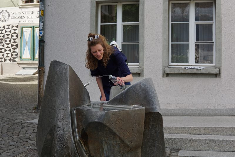 By Nathalie · Co-Founder & Product Designer, droply
CDT (2024) & PCT (2018) thru-hiker · Co-founder & product designer, droply
Nathalie co-founded droply and designs its UI and UX. A passionate ultralight hiker who thru-hiked the CDT in 2024 and the PCT in 2018, she's always happy to carry less water, and to photograph a beautiful fountain along the way.
Get new posts in your reader
New guides and trail notes land in your feed reader the day they're published. No email address, no account, no tracking.
Feed address
https://droply-app.com/rss.xml